
Pearisburg
The Giles County seat. Live NWS alerts, 7-day forecast, and current conditions.
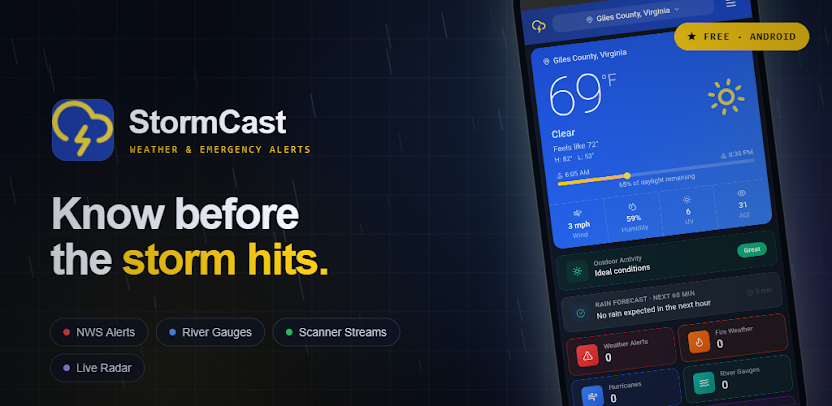
Pearisburg weather →StormCast wasn't built in a Silicon Valley office — it was built right here in Giles County, in the Narrows / Glen Lyn area. Real-time NWS weather alerts and river flood monitoring for Narrows, Pearisburg, Glen Lyn, Rich Creek, Pembroke, Ripplemead, and Eggleston.
Tap your town for live conditions, the 7-day forecast, and any active NWS alerts right now.
The Giles County seat. Live NWS alerts, 7-day forecast, and current conditions.
Pearisburg weather →On the New River, right by the Wolf Creek confluence. Live weather and flood alerts.
Narrows weather →Home to the New River at Glen Lyn USGS gauge — the primary flood-stage reading for the area.
Glen Lyn weather →Live weather and severe alert coverage for Rich Creek, Giles County.
Rich Creek weather →On the New River. Live weather, forecast, and flood-alert coverage.
Pembroke weather →On the New River near Whitt-Riverbend Park. Live weather and flood-alert coverage.
Ripplemead weather →On the New River near Eggleston River Road. Live weather and flood-alert coverage.
Eggleston weather →Live police, fire, and EMS scanner streams for Giles County, right alongside your weather alerts.
Scanner radio →Live USGS gauge data, NWS flood stages, and push alerts when water rises — updated every 15 minutes.
The primary USGS gauge for Giles County. Action / Flood / Moderate / Major stage tracking with live gage height and streamflow.
New River at Glen Lyn →A New River tributary that feeds in right by Narrows. Live gauge data and flood-stage tracking.
Wolf Creek near Narrows →Another Giles County tributary feeding the New River watershed. Live gauge data and flood-stage tracking.
Walker Creek at Bane →The New River is one of the oldest rivers in the world, and it cuts north through Giles County, Virginia on its way toward West Virginia — passing Pembroke, Ripplemead, Narrows, and Glen Lyn along the way. USGS gauge 03176500 at Glen Lyn is the primary flood-stage reading for the county, backed up by tributary gauges on Wolf Creek near Narrows and Walker Creek at Bane. StormCast pulls live readings from all three every 15 minutes and pushes a notification the moment the New River crosses into a new NWS flood category.
Virginia
Pearisburg
VAZ011
RNK (Blacksburg)
KFCX
New River
StormCast monitors the NWS and New River gauges every 30 seconds and pushes alerts directly to your phone the moment something changes.

Yes. StormCast delivers NWS severe weather alerts and New River flood monitoring for every town in Giles County — Narrows, Pearisburg, Glen Lyn, Rich Creek, Pembroke, Ripplemead, and Eggleston — free on Android.
Yes. StormCast was built right here in Giles County, Virginia, in the Narrows / Glen Lyn area — the same New River gauges and towns this page covers.
StormCast has dedicated weather alert pages for Narrows, Pearisburg, Glen Lyn, Rich Creek, Pembroke, Ripplemead, and Eggleston. All of Giles County is served by NWS forecast zone VAZ011 out of the RNK (Blacksburg) Weather Forecast Office.
Yes. StormCast monitors the USGS gauge for New River at Glen Lyn (flood stage 15 ft), plus Wolf Creek near Narrows (flood stage 10 ft) and Walker Creek at Bane (flood stage 11 ft) — all local tributaries feeding the New River.
Yes. StormCast is free on Google Play. Core severe weather alerts and river flood alerts will always be free — they're safety features, not premium features.