The Three Tiers
Advisory
Conditions that are less serious than a warning, but could still cause inconvenience or minor hazard if you don't take precautions — a Wind Advisory or Heat Advisory, for example. Not every hazard type has an advisory tier.
Watch
Conditions are favorable for the hazard to develop over the next several hours to a day or two, but it isn't happening yet and might not happen at all. This is your cue to review your plan, not execute it.
Warning
The hazard is occurring, imminent, or highly likely based on radar, spotter, or sensor confirmation. This means take protective action now, not review your plan.
Think of it as a funnel: watch means "get ready," warning means "act now." A watch doesn't always turn into a warning, and a warning doesn't require a watch first — some hazards (like a sudden severe thunderstorm) can jump straight to a warning with no watch at all.
How It Applies Across Hazard Types
Tornadoes
A Tornado Watch covers a broad region where a Storm Prediction Center outlook suggests tornado-favorable conditions. A Tornado Warning is issued for a specific storm, based on radar rotation or a confirmed sighting. Full breakdown →
Severe Thunderstorms
Same structure — a Severe Thunderstorm Watch covers a region, a Severe Thunderstorm Warning targets a specific storm producing damaging wind or hail. Full breakdown →
Flooding
A Flood Watch means heavy rain could cause flooding; a Flood Warning means it's happening or about to. A Flash Flood Warning is the most urgent tier — issued when flooding is imminent within hours or even minutes. Full breakdown →
Winter Weather
A Winter Storm Watch means significant snow or ice is possible; a Winter Storm Warning means it's expected to meet warning-level criteria for your area. Full breakdown →
Fire Weather & Heat
A Fire Weather Watch or Excessive Heat Watch means dangerous conditions are possible in the next day or two; a Red Flag Warning or Excessive Heat Warning means they're expected to arrive. Fire weather → · Heat →
The One Exception to Know
Hurricanes flip the usual timeline slightly — a Hurricane Watch means hurricane-force conditions are possible within 48 hours, and a Hurricane Warning means they're expected within 36 hours. The longer lead times reflect how much more preparation (evacuation, boarding up, supply runs) a hurricane requires compared to a tornado, which can form with only minutes of notice.
What Isn't Part of This System
Not every hazard StormCast tracks uses the NWS watch/warning structure. Earthquakes have no watch or warning at all — USGS reports them only after they've already happened, since there's currently no reliable way to forecast one in advance nationwide (see earthquake early warning for the narrow exception). Space weather uses its own separate scales entirely — the G-scale for geomagnetic storms and an R-scale for radio blackouts — issued by NOAA's Space Weather Prediction Center rather than local NWS forecast offices. Knowing which system applies to which hazard helps you read an alert correctly the first time you see it.
Who Actually Issues These Alerts
Watches and warnings don't come from a single national office — they're split between two different parts of the National Weather Service, and the division matters for understanding why watches cover such large areas while warnings are so specific. The Storm Prediction Center in Norman, Oklahoma, issues tornado and severe thunderstorm watches by analyzing broad atmospheric patterns across the entire country and identifying regions where the ingredients for severe weather are coming together over the next several hours. Once a storm actually forms and starts showing dangerous signatures, responsibility shifts to one of 122 local Weather Forecast Offices around the country, each covering a specific set of counties, who issue the warning based on their own radar, spotter reports, and local knowledge of the terrain. That local office is also who issues flood, winter weather, heat, and fire weather products for their area, while hurricane watches and warnings come from the separate National Hurricane Center in Miami.
Frequently Asked Questions
Can a warning be issued without a watch first?
Yes. A sudden, rapidly developing storm can go straight to a warning with no preceding watch, especially for hazards like flash flooding or a fast-forming severe thunderstorm. A watch isn't a prerequisite — it's just a heads-up when time allows for one.
What happens if a watch expires without anything happening?
Nothing — it simply lapses, and no warning follows. This is normal and doesn't mean the forecast was wrong; a watch describes favorable conditions, not a guarantee.
Are all warnings equally urgent?
No. Some hazard types add further tiers on top of "warning" for extreme cases — a Tornado Warning can be upgraded to a Particularly Dangerous Situation (PDS) tag, and a Flash Flood Warning can carry a Flash Flood Emergency tag, both reserved for the most severe, life-threatening instances of that hazard.
Why do warning polygons look like irregular shapes instead of whole counties?
Modern NWS warnings use storm-based polygons that trace the actual expected path and threat area of a specific storm, rather than blanketing an entire county. This lets forecasters warn the people actually at risk without alerting an entire county when only one corner of it is threatened.
Get Every Alert Level on Your Phone
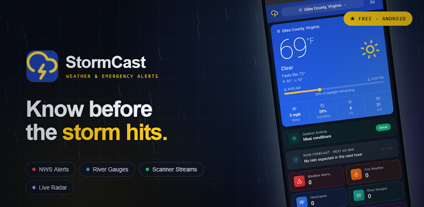
StormCast pushes watches, warnings, and advisories for your exact location — across every hazard type the NWS issues.

More from the Blog
A note on this guide: Thresholds and criteria described here are general and can vary by NWS forecast office, region, and over time. This content is educational — always check your local National Weather Service office for the specific criteria that apply to your area.